
Topographical Land Survey
A Topographical Survey, often referred to as a Land Survey, is a detailed and
accurate representation of the physical features and contours of a piece of land.
This survey provides essential information about the land's natural and man-
made features, including details such as elevation changes, vegetation, bodies of
water, buildings, roads, services, and other structures. Topographical Surveys are
typically used for various purposes, such as land development, construction
projects, environmental assessments, urban planning, and real estate
transactions.
Topographical surveys are crucial for project planning, especially in the initial
design phase of construction or development projects. They help architects,
engineers, urban planners, and project stakeholders understand the existing
conditions of the site. This information guides decisions related to site layout,
drainage, grading, and other design elements.
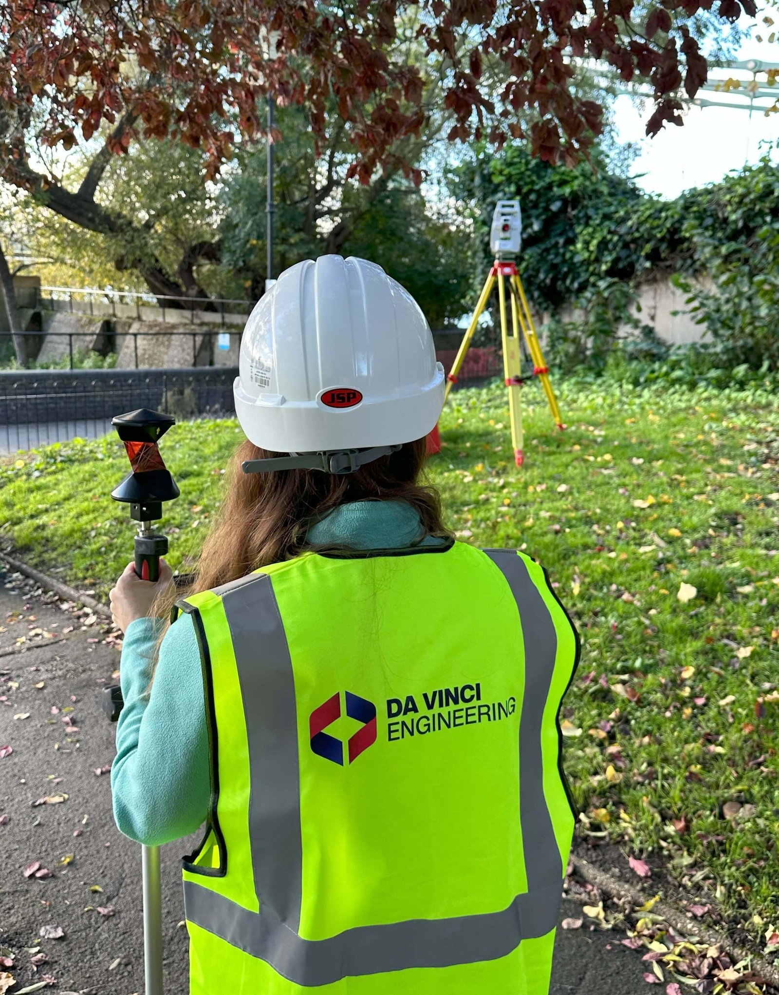
At Da Vinci Engineering our skilled team of surveyors use specialized equipment
like GPS units and robotic instruments to measure and map the land's features.
The resulting data is presented as contour lines on a site map, which allows for a
comprehensive and visual representation of the land's topography.
If required, our extensive Topographic Surveys can be completed with our
detailed Measured Building Surveys.
Topographic and Measured Building Surveys
The relationship between a topographical survey and a measured building survey lies in their combined contribution to construction and development projects.Project Planning
Before designing new structures or planning renovations, architects and engineers often require a topographical survey to understand the lay of the land. This data informs critical design decisions, such as site layout, grading, and drainage. The information from a topographical survey can also be used to assess how new building developments might interact with the surrounding environment.Design and Construction
Measured Building Surveys come into play when working with existing structures. After a building's internal and external features are accurately measured and documented, the data from the measured building survey can be integrated with the topographical survey data. This ensures that new construction projects or renovations align with both the site's topography and the existing building's dimensions.Survey Process
The topographical survey process is a carefully structured approach. It begins with our Expert Surveyor team defining the project's scope and objectives, considering specific detail and precision requirements.Our Site Engineering Surveyors then visit site to establish a network of control points for precise measurements. Data are now collected, including details such as elevation changes, vegetation, bodies of water, buildings, roads, services, and other structures.
Collected data is securely transmitted to our office-based engineers, who process and analyse it to create a comprehensive site map. Quality checks ensure accuracy, resulting in a detailed survey report. Topographical surveys aid in urban planning, construction, and land development by providing insights into existing site conditions for informed decision-making and design.
All surveys are carried out and delivered in your preferred coordinate system.
Cost
The cost of our Topographical Survey services can vary based on a wide range of factors, including the size and complexity of your project.At Da Vinci Engineering, we are committed to offering cost-effective solutions that match your unique needs. Contact us to discuss your project in detail, and our team will provide you with a personalised quote that aligns with your budget and requirements.
CONTRIBUTING TO YOUR PROJECT SUCCESS
If you need a professional surveyor, do not hesitate. Contact us today for a free quote!
Request A Quote
Da Vinci Engineering ©
All rights reserved
Company No: 15139478
VAT No: 451161328